
Search the Minnesota Street Directory
A Minnesota street search works best as a chain of records, not as one resident list. Standardize the house number, street name, directional, suffix, unit, city, county, and ZIP, then save the parcel ID and legal description when a county or city record supplies them. In Minnesota, address labels may differ between the tax parcel, mailing address, postal city, and legal tract. Keep those fields side by side so a later deed or map search does not rely on a street string that changed.
- Enter the address in the city property tool if one exists, then in the county assessor search. Record the PID, owner or taxpayer name, sales data, and legal description shown.
- Open the county parcel map, click the parcel, and note its neighbors and map layers. Treat the lines as approximate until a recorded plat or survey confirms them.
- For ownership history, search the county recorder index by name or legal description. Use a deed, certificate of title, or plat to confirm the tract.
- For registered-voter evidence, use the individual MNVotes check only to verify a known person's own registration. A street-sorted list has separate eligibility and purpose rules.
- For earlier households, search a library's address index and compare each name with the alphabetical directory section and census years.
This sequence keeps a Minnesota address search grounded in parcel and source dates. A current owner, a permit applicant, and an older directory entry may refer to different people; do not merge them until names, dates, and the land description line up.
Minnesota Street Directory: Hennepin Search Modes
Hennepin County provides a useful Minnesota model for moving from street address to parcel. Its property-information search offers four distinct entry routes. A searcher who has only a street address can begin there, while someone with a tax notice can use the PID. The addition field can help locate a platted subdivision, and the interactive map can orient a parcel when the address is incomplete.
| Hennepin search field | What to enter or open |
|---|---|
| Property address | Street address for the parcel |
| Property ID number (PID) | The parcel's 13-digit identifier |
| Addition name | The recorded addition name, when known |
| Property interactive map | Open the map and select a parcel |
Open the Hennepin property search for the address, PID, addition, and map choices. The county result can show tax amounts, assessment values, parcel description, sales information, and links to recent recording history. Property staff also take phone questions at 612-348-3011 and email at taxinfo@hennepin.us; requests should include the PID when available. The tax counter is on the sixth floor of the Government Center.
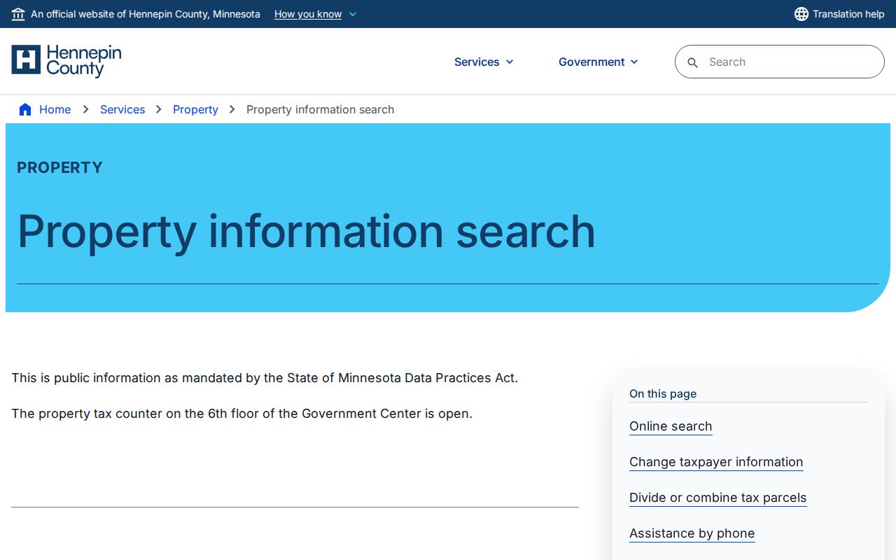
The search screen shows where each route begins. A tax result can identify the parcel and taxpayer, but it is not a roster of everyone who uses that Minnesota address.
Note: Hennepin's address-to-PID bridge is useful as a method, but each of Minnesota's other counties has its own portal, fields, and record cutoff.
Minnesota Street Parcel Records by County
Minnesota has no single statewide title map. The MnGeo county parcel directory routes researchers to county map viewers and downloadable parcel data. Some counties support address, PID, or owner search; others provide a map or a vendor tool. A county parcel layer may show a parcel polygon, road, districts, and fields such as parcel ID, owner, plat, property address, taxpayer, tax year, and acreage, but the available fields vary by county.
Hennepin's public interactive parcel map lets a user click a parcel and inspect nearby parcels and available layers. Minnesota parcel boundaries are approximate. A GIS line helps orient a street search, but it does not replace a certified survey, recorded plat, or legal description. Check the county map's own layer notes before treating a displayed field as complete.
- Parcel
- A county's mapped tax unit; one parcel may not match every legal tract or building address.
- Situs address
- The location address assigned to a parcel, distinct from the address where tax mail is sent.
- Plat
- A recorded map of lots, blocks, and additions used to identify land on a street.
Minnesota Street Directory by Address
Several Minnesota records can be searched from an address, but each has a different keeper and a different limit. The table separates parcel evidence from transfer history and household clues. It is a route map for a street-by-street search, not a promise that every county or city publishes every field online.
| Minnesota record | Keeper | Address evidence | Access route |
|---|---|---|---|
| Assessor / tax roll | County assessor or treasurer | Owner or taxpayer, PID, value, sales, tax address where exposed | County portal, map, counter, phone, or email |
| GIS parcel | County GIS office | Parcel shape, adjoining parcels, roads, and published layers | County viewer, downloads, or GIS office |
| Deed and title index | County recorder / registrar | Grantor, grantee, instrument, date, legal description | Online index, kiosk, counter, or copy request |
| eCRV sale record | Minnesota Revenue and county | Accepted sale certificate and parcel identifiers | State public search from October 2014 |
| Permit or code file | City inspection / planning office | Permit, inspection, report, or applicant details where public | City address or file-number search; request if needed |
| Voter information | Secretary of State / elections office | Registered-voter fields allowed by statute | Personal status check or eligible list request |
| Reverse directory | City or county library | Listed household name at a street or house number | Digitized scan, print, microfilm, or staff service |
Use the PID to connect a Minnesota assessor result with county GIS and tax fields. Use the legal description and names to connect that parcel to a deed. eCRV can add a sale date and terms, but Minnesota's sale certificate does not replace the recorded instrument. A permit may date work at the parcel without identifying who lived there.
For many Minnesota counties, the online layer is only one access path. County staff, research counters, mail requests, and public-record requests fill gaps when the online index is thin or absent.
The Minnesota eCRV public search adds accepted or completed sale certificates dating from October 2014. It can connect a parcel to sale terms, but it is not the recorded deed or a complete title chain.
Minnesota Address Tools: Minneapolis and St. Paul
Minneapolis makes its Minnesota property search address-first: enter the house number and street name, select the result, then open the address or parcel number. The result can show owner, taxpayer, neighborhood, precinct, ward, valuation, lot data, classifications, and parcel flags. Its tabs describe a parcel and public city information, not all household members.
The Minneapolis property information search is the source for the screen below. Follow the address to its parcel number, then use county records for tax and title details.
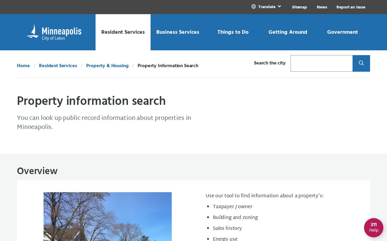
The image shows the municipal address path and parcel result. Use these details to reach the county record rather than to infer current occupancy.
St. Paul's public search accepts a full permit/file number with no spaces or the fields House Number, Street Name, Unit / Apt #, and City. It covers code-compliance reports, permit information, and vacant-building information, with reported public activity from 2000 onward; Public Works permits begin in 2006. The city launched PAULIE on September 17, 2025, and says conversion of more than 20 years of data is still underway. Use the St. Paul public search for address lookups and the PAULIE update to understand the transition. If an older city file is absent, ask the responsible department for its records route under chapter 13.
The city's property-information and reports page also routes address searches to zoning, code-compliance reports from the last 365 days, occupancy certificates, vacant-building status, TISH reports, and Ramsey County tax/value data. If a file is not posted, ask the responsible department for inspection or copies under chapter 13; inspection is free, while copies may carry a charge.
Minnesota Deeds for a Street Address
Once an assessor gives a current owner and PID, the Minnesota recorder's index can carry the search backward. Hennepin County's RecordEASE Public Search offers limited free indexes; real-estate research works best by legal description or individual or entity name. Get the tract from the property result first. Then note the document type, recording date, document number, legal description, and whether the land is abstract or Torrens.
The public index screen below is a starting point, not the full land-record history. A name can own more than one parcel, while a parcel may split or combine. Follow the same legal tract through each instrument and use a plat when the lot or addition changes.
Open Hennepin RecordEASE Public Search.
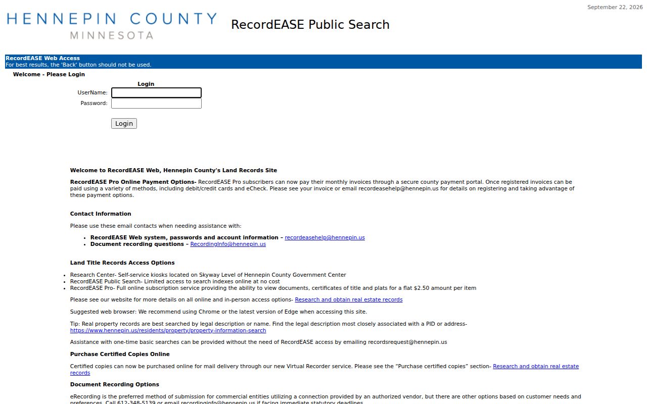
That index helps connect an address to deeds, mortgages, liens, releases, and title records. Minnesota eCRV can support the sale portion of the chain, but it is a separate record set.
Hennepin's latest recording history appears online for only the most recent five years and may be incomplete. Older work can move to a courthouse research kiosk, the county counter, or a staff-assisted request. The county lists weekday self-service kiosks at the Skyway level of 300 South Sixth Street, room SK-0353, from 8 a.m. to 4:30 p.m. The land-record office also accepts phone and email questions, mail copy orders, and an owner's request for a free electronic deed or certificate copy. RecordEASE Pro charges $2.50 per document, certificate, or plat view; copy and certified-copy prices vary by item and service route. See Hennepin's land-record research and copy options before ordering.
For land-record questions, call 612-348-5139 or email recordsrequest@hennepin.us. Mail copy requests must include the document or certificate number and type. An owner may request a free electronic deed or certificate copy by email.
Hennepin charges $1 per page for a mailed noncertified document, $10 for a certified document or certificate, and $10 noncertified or $15 certified for a plat. An online certified order needs an account and adds a $3 service fee to the $10 document/certificate or $15 plat charge; mail orders are usually processed in one to two business days.
Research tip. When a Minnesota address search stalls, switch to the legal description or a party name, then use the kiosk or county counter for records beyond the short online history window.
Minnesota Street Directory: Voter List Rules
MNVotes is an individual registration check, not a public street browser. It asks for first name, last name, date of birth, and address; the address step can begin with ZIP Code or county. The system updates nightly, though an election office may take up to 14 days to process a registration. A failed match can reflect address formatting, pending work, or a protected record, so it does not prove that a person is absent from a street.
A separate walking list is sorted by street and house number. Minnesota limits the request to a registered voter and permitted election, political, or law-enforcement uses under Minn. Stat. §201.091. The report can include voter name, residence address, year of birth, voting history, optional phone, and districts, but not full date of birth or ballot choice. A local city or precinct report costs $30; a statewide text report costs $46. The requester sends the form by mail or delivers it in person to 332 Minnesota Street, Suite N201, Saint Paul; there is no online order. Payment is exact cash in person, check, or money order. Fulfillment takes five business days, then an encrypted email link remains active for seven days. The current form and options are listed by the Secretary of State voter-list request office.
Do not turn this Minnesota list into a casual roster. The web check confirms one person's own registration, while the walking-list process has defined eligibility and use limits. Protected voters may not have a real address shown.
Minnesota Street Directory: Reverse Indexes
Old Minnesota address searches often need a library directory because the street index changed over time. In St. Paul, the 1879 directory added a street index with “to” and “from” information, 1885 added house numbers, and a street-by-number listing appeared in 1929. Start in that reverse section, copy the name and exact address, then confirm the person in the alphabetical section.
The St. Paul Public Library directory collection spans online volumes from 1856–1922, microfiche for 1856–1859, microfilm for 1863–1935, and print from 1938 onward. The collection page shows why street indexes and household symbols need to be read by year.
In St. Paul, a dotted-circle mark began to identify homeowners in 1929; all household adults were listed from 1933, and a bell marked telephone service in 1940. Minneapolis print directories can be browsed by address from 1930, while Hennepin's digital runs cover selected cities and years. The broader collections, their gaps, and reading conventions belong with the Minnesota city-directory collections. Older volumes often list only the head of household, so a missing name is not proof that a person was not there.
Minnesota Address Names Can Drift
A Minnesota street can change names, number ranges, direction labels, or city boundaries. St. Paul’s 1976 street index preserves former names; old plats, annexation records, and city ordinances can bridge a renamed road. Minneapolis and St. Paul also use different historic numbering patterns, while suburban and rural places may use quadrants or township-range descriptions. No single statewide renumbering year fits the whole state.
Postal city and ZIP do not set the county or parcel boundary. A ZIP can serve several towns, and the postal place name may differ from the municipality. When a Minnesota address does not match, compare the old street index, legal description, parcel map, and current city/county address before assuming the record is missing. MnGeo's county layers remain approximate; plats and surveys carry the legal boundary detail.
Myth. A ZIP match does not confirm a person or business at that location, and the tax owner is not necessarily the occupant.
Note: A changed street string, parcel split, or older head-of-household convention can explain a missing directory result without showing that the address lacked residents.
Limits of the Minnesota Street Directory
A Minnesota street-address index can connect a parcel to a named owner, permit, voter record, or older directory entry, but no one of those sources proves who lives there now. The tax owner may be an entity or a person who receives mail elsewhere. A permit can name an applicant or contractor rather than a resident. Utility customer records and DMV residence data are not public street lists, and household members may not appear in property or voter records.
Use Minnesota public data for personal research, family history, property understanding, or civic questions. Check every name against the record and date that produced it. The Minnesota Government Data Practices Act allows public inspection unless a law classifies the data otherwise; a custodian can explain the proper record and copy route.
Lawful use. Minnesota address records are for lawful personal research. Do not use a name, map, or record trail to stalk, threaten, or harass anyone; Minnesota law makes stalking and harassment a crime.