
Minnesota Neighbors Around One Address
No Minnesota office keeps a full list of everyone near an address. County maps and assessor records describe land and tax accounts; city reports add selected permit activity; voter information has a separate legal route; and civic groups publish public contacts. Keep each result tied to its date, custodian, and purpose.
| Source | What It Shows About a Block | Access |
|---|---|---|
| County GIS and MnGeo | Parcel shapes, nearby parcel IDs, map layers, and owner fields where published | County viewer, map, or data download |
| County assessor | Tax owner, parcel value, classification, sales, and mailing details where shown | County portal, counter, or phone |
| Minnesota voter records | Limited registration details through an individual check or lawful voter-list order | MNVotes or SOS mail/in-person request |
| City permits and reports | Selected permit, inspection, compliance, and site-address activity | City address search or records office |
| Neighborhood organizations | Public boundary, meetings, announcements, and contact routes | Official city directory or group page |
The table describes records, not household membership. An owner can live elsewhere, while a relative, guest, or other household member may not appear in land files. County systems differ, so choose the source based on whether the question concerns land, a public file, or a civic group.
Map Minnesota Neighbors by Parcel
Hennepin County’s interactive GIS viewer shows the adjacent-parcel method. Search the address, click its parcel, and note the PID, owner or taxpayer fields, legal description, and map link. Pan to lots that share a boundary, and record parcels across roads or alleys separately.
The map can offer roads, zoning, flood, district, aerial, measure, select, or buffer layers, depending on the county. MnGeo’s county parcel page links to local data and viewers; it is a directory, not a statewide title system. Open Hennepin County GIS to see the parcel controls. A clicked lot leads to a county record, not a legal survey or a list of people in a building.

Use the map to identify which county and parcel record to check next, then confirm names and land details with that county’s own property or recorder service.
Minnesota Neighbors Across Roads and Alleys
Parcel lines can be approximate. Measure and buffer tools are map aids, not surveys. Roads, alleys, drainage strips, or shared space may separate a target lot from a nearby one. Mark lots that touch the target separately from those across a public way.
Each county chooses its map fields and access route. Some offer downloads; others rely on a viewer, parcel search, or GIS contact. If a name or boundary is missing, ask the assessor or recorder by counter, phone, or email about the PID or recorded plat. The map is not a full title chain or occupancy check.
Minnesota Tax Owners Are Not Every Neighbor
A tax owner is not always a current occupant. A property card may show an owner, taxpayer, mailing address, value, sales history, or classification. The tax contact could be a trust, family member, company, or service address; other people in the building may not appear. Land data describes a parcel and tax relation, not a household roster.
Hennepin County accepts a property address, PID, addition name, or interactive map, with links to tax and recording details. Other counties use different fields. A mailing address that differs from the parcel location is a clue to verify, not proof of who lives at either place.
Trace Minnesota Parcels From One Address
Work outward from one address. County parcel maps are the base; the assessor or recorder confirms what the map points toward.
- Search the full street address in the county GIS viewer or use MnGeo to find that county’s parcel map.
- Click the target lot and record the PID, legal description, owner or taxpayer fields shown, and the map date.
- Move around the parcel edge and record bordering lots separately from parcels across roads or alleys.
- Confirm a land detail with the county assessor or recorder; use the city for a permit or inspection file.
For the full named-street record chain, use the Minnesota street directory.
Minnesota Walking Lists Have Use Limits
Minnesota has no public online button for all voters near an address. MNVotes checks one person using first name, last name, date of birth, and address, with ZIP or county as the location route. It updates nightly, but processing can take up to 14 days. A failed result does not prove someone is absent or unregistered.
A different route exists for the public-information voter list under Minn. Stat. §201.091. The requester must be a registered Minnesota voter and certify a permitted election, political, or law-enforcement purpose. The walking-list report is sorted by street and number, but the request form offers geographic units such as a city, county, school district, ward, or precinct, not an unrestricted ZIP-by-ZIP neighbor list. The public information can include voter name, residence address, birth year, voting history, optional phone, and district codes; protected Safe at Home addresses and restricted identifiers are not available.
Mail or take orders to the Secretary of State, 332 Minnesota Street, Suite N201, Saint Paul. A local report is $30; payment is exact cash in person, check, or money order. Processing takes five business days, followed by an encrypted email link active for seven days. The voter-list request page gives current rules. Use the list only for its certified purpose.
Saint Paul PAULIE Records Are Still Converting
Saint Paul launched PAULIE in September 2025 for permits, licenses, inspections, code, and planning. The city says it holds more than 20 years of data, while historical conversion continues. Public search takes a file or permit number, or a house number, street, unit, and city. Results can include permits, code reports, and vacant-building information.
Online permits date from January 1, 2000; general activity usually runs from 2000 onward, and Public Works permits from 2006. Valid TISH and code reports, plus current or renewal-pending occupancy records, can be viewed. If a historic file is missing, ask Saint Paul Safety and Inspections or the city records office for a chapter 13 inspection or copy route. A permit applicant or contractor is not thereby shown to live there. The city’s PAULIE page explains the conversion.
Privacy Boundaries for Minnesota Neighbors
Some residents are intentionally harder to locate in public data. Minnesota’s Safe at Home program assigns a substitute mailing address and keeps participants’ real addresses confidential, subject to narrow legal and emergency disclosures. The Secretary of State’s Safe at Home information explains the program and contact route. Household members, guests, and account holders are not a statewide public field, and utility, delivery, and federally protected motor-vehicle address data are not open neighbor lists.
City records can also name a permit applicant or contractor rather than an occupant. A neighborhood organization’s public contact is for civic communication, not a roster of members or homes. Minnesota records law gives access to public government data under its rules, but a custodian may withhold protected data and must apply the relevant classification. Keep personal research private and do not publish protected addresses or children’s details.
Lawful use. Use Minnesota public records for a lawful personal purpose, such as learning about a community or checking a property history. Do not assemble information to watch, threaten, harass, or harm anyone; Minnesota’s harassment and stalking laws set criminal limits on that conduct.
Minnesota Neighbors Can Find Civic Groups
A neighborhood group can provide meeting dates, a service-area boundary, or a public contact. Minneapolis updates its official map and list monthly for 84 residential neighborhoods served by about 70 independent nonprofits. Entries include the neighborhood, staff or board contact, schedule, address or email, and organization details. This civic directory is not a member roll.
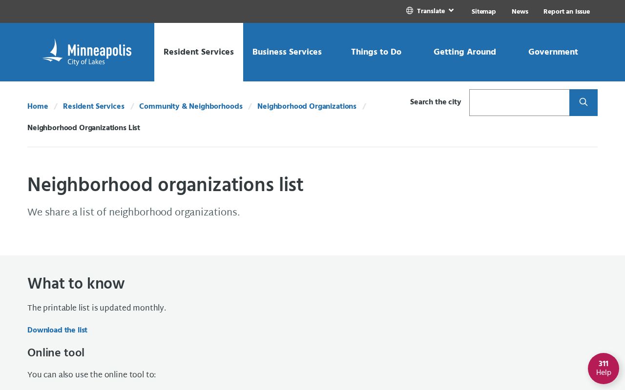
The Minneapolis Neighborhood Organizations List includes groups such as Harrison, Hawthorne, Heritage Park, Holland, Jordan, Kenny, and Kenwood. Contact a group for current meeting details; its service boundary may not match a ZIP, ward, or parcel. Open the official Minneapolis organization directory to view the map and public contacts.
The map helps people find a civic contact, but it does not identify everyone who belongs to or attends a group.
St. Louis Park also publishes association contacts and website or social-media routes. Elsewhere, start with a city clerk, planning office, or county GIS page. Local systems vary, and a group boundary is not address proof.
| Public source | Useful block detail | How to reach it |
|---|---|---|
| Minneapolis organization directory | Neighborhood map, public contacts, board dates, financial and organization information | Official city list, updated monthly |
| St. Louis Park association list | Main contact and group website or social-media route | Official city neighborhood page |
| Other Minnesota civic groups | Public meeting and contact information for a local service area | City clerk, planning office, or community page |
Compare Official Minnesota Neighbor Records
Commercial neighbor-data compilers combine material from many sources and may merge similar names or old addresses. Their results can be hard to trace. An official custodian has a defined role and a route to inspect or request its record, which matters for family history, property questions, and civic contact.
| Source type | What it is built to show | How to verify it |
|---|---|---|
| County or city custodian | A parcel, tax item, permit file, or public association contact | Return to the named county or city office and record the date |
| Voter record route | Registration status for one person or a legally requested list | Follow Minn. Stat. §201.091 and its certified-use limits |
| Commercial compilation | A combined set of records that may include stale or mismatched entries | Trace important facts to the public custodian before relying on them |
Use the official source for the question it is meant to answer, then keep its date and record key. A data compilation can help suggest a lead, but it cannot replace a county or city record.
Earlier Minnesota Neighbors in City Directories
Historical directories show past household adults by name and address, but runs vary by city. St. Paul Public Library has online directories for 1856–1922, microfiche for 1856–1859, film for 1863–1935, and print from 1938 onward. Hennepin County Library has Minneapolis 1859–1950, Edina 1941–1977, Hopkins 1942–1977, and St. Louis Park 1933–1977.
Use the library catalog or reference desk for years that are not online. Older entries may list only a head of household or require a street index, so a missing name does not prove a vacant address. Read the year and address together; directories add a dated block view, while county property records trace the current parcel.